Route map

Altimetry


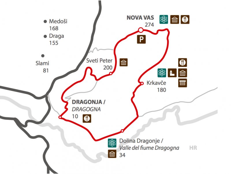
Interactive route map: Po Šavrinskem gričevju (P19)
Time: 4h
Path length: 13 km
Altitude: 19 m – 271 m
No suitable for families.
Parking: Nova vas, parking ba the culture house.

Attempting to load Google Maps API.. Please wait.
This functionality requires cookies to be enabled, it will not work otherwise


