Path map
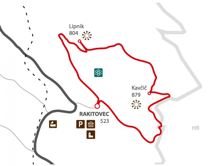
- The path starts at the renovated puddle in front of the village. From there, we turn right, pass by the house of the local community and the e-point, continue among the houses, go up the stairs, take the asphalt road and turn left towards the upper part of the village. We can follow the yellow trail markers.
- The road turns right, however, we turn (in front of the yellow house number 58) left on the cartroad which, right under the wooded hill, starts to gradually rise towards northwest.
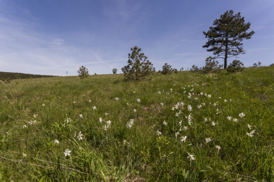
- We gradually gain height and when the path straightens along the wide meadow with few linden trees, we turn left on the path which rises from Zazid over the large grassy shelf underneath the Karst wall.
- After 300 metres, the signpost on a lonely tree directs us towards the left path which climbs over the edge of the wall till the crossroads where another signpost directs us left towards the 300 metres distant peak Lipnik.
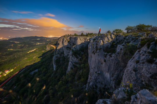
- We are walking along the panoramic grassy crest and admiring the hills of the Croatian and Slovenian Istria, the sight reaches the sea and the peaks of Dolomites and Carnic Alps in the distance.
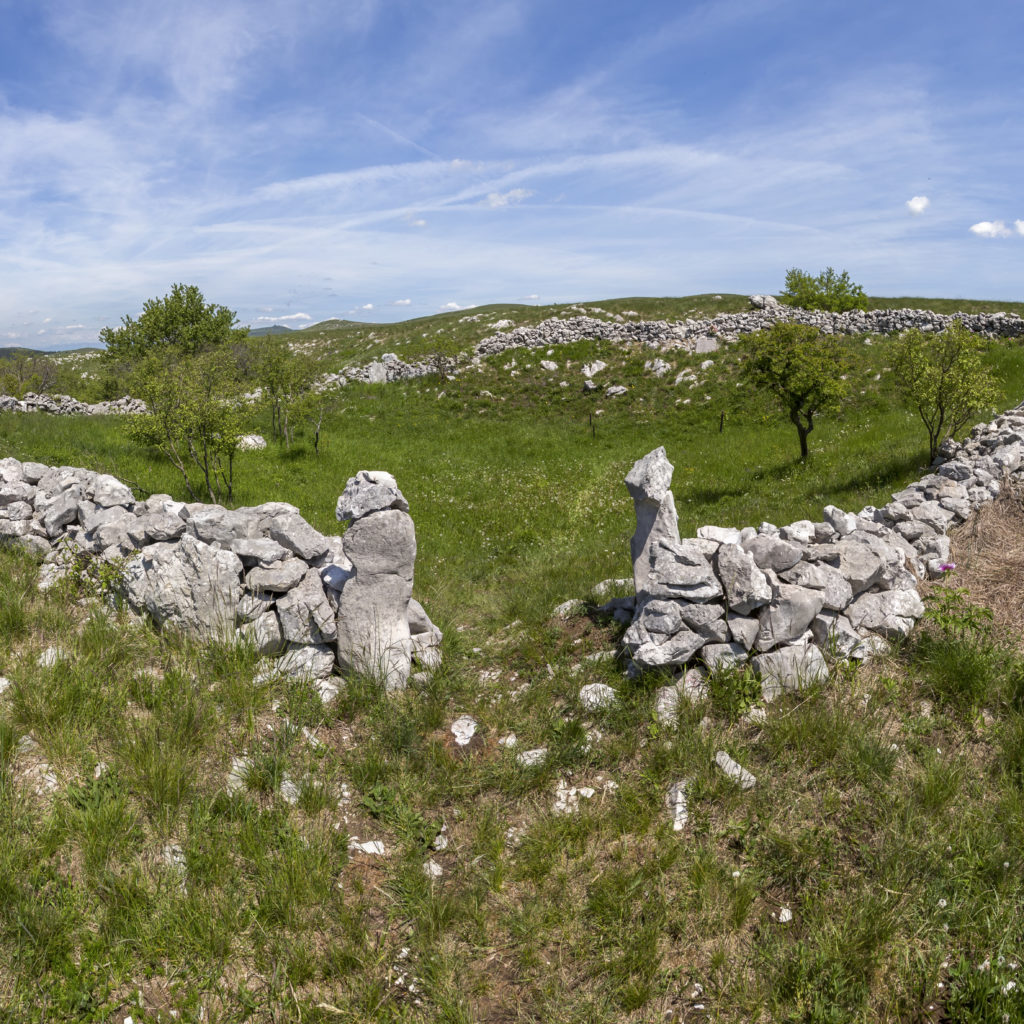
- We return back to the signpost, honour the memory of the soldiers fallen during the National Liberation Struggle (NOB) – which lies in the right of the stone fences in front of us – and continue towards east to the cartroad from Kojnik that joins us from the left.
- We are approaching our next stop, slowly climbing over the vast plateau of Kavčič in the southeast direction.
- After 800 metres, at the pile of rocks, we leave the cartroad and take the path on the right which, passing the two lonely trees, starts to climb more steeply towards the foothills of the peak Kavčič, which we recognise from afar due to the two crosses at the top. We have reached the highest poit of our track, ant the view is even wider compared to Lipnik. Right in front of us towards east, our sight is attracted by Žbevnica, the highest peak of the long crest which starts at Kojnik on Croatian territory.
- The cartroad that we have left shortly before, runs in the same direction, sweeping under the steep wall, where we get surprised by a cavern (spodmol) which offers shelter in case of bad weather or just a spot for a short snack and a rest.
- We continue down the cartroad which is slowly becoming forest road. The path is winding along the Croatian border.
- We turn right twice at two different crossroads, but when the road splits in the shape of a letter V, we choose the path on the right and slowly sweep in the direction of Rakitovec.
- The path reaches the village at the upper houses below the forest. We soon reach the crossroads where we started our scent. From here, we go down to the puddle and finish our picturesque journey along the Karst border above Rakitovec.
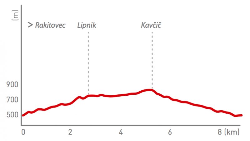
Path altimetry