Path map

- The path is marked by yellow trail markers, however, we can also follow the red-blue signs (in the shape of the heart) of the path “For the heart”, which partly runs along the same track.
- The path starts at the parking place in front of the shop in Vanganel, from where we direct towards the main road (Koper – Marezige), cross it and climb among the houses towards the upper asphalt road, where we turn left and sweep again, passing by the houses, towards the main road, which we cross again.
- At the other side starts a macadam road which brings us, after 30 metres, to the bridge.
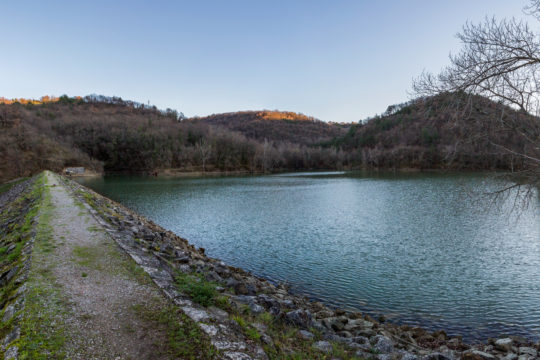
- We leave the road and turn right, taking the path running along the bottom of the valley which brings us to a large stone barrier of the Vanganel lake.
- We take the stairs on the left side of the lake and climb on the dyke.
- We carefully cross the dyke and continue on right towards the road. From there, we go up the road till the next crossroads, where we turn left, down to the upper edge of the lake.
- We start to climb the slope along the damaged cartroad towards right and, at the second crossing turn left on the cartroad which is sweeping down towards the stream with a small cascade.
- The patht straightens and winds through the forest towards the next brook, which we cross and continue around the lake.
- Than the path goes up steeply towards the crossroads which lies on the vast terrace in the middle of wide olive groves. Here we can decide whether to shorten our track or continue along the original path.
- In case we want to shorten it, we turn left and after 300 metres reach again the path KP5 which sweeps back to the valley.
- The original path leads us directly to the water trough. From here we can turn right and visit the small cascade of the brook Morigla, or go right, up towards the edge of the forest.
- At this point, the path climbs steeply for some time and leads us to a comfortable cartroad which continues, on left, towards the village Škrgati.
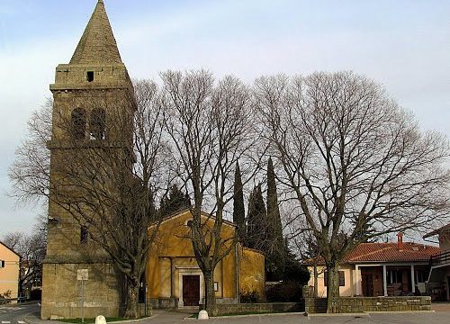
- There, we turn right, towards the main road (Koper – Babiči) and left, continuing for 500 metres, passing by “osmice” and the cooperative home with a tavern and a shop in Marezige. Reaching the highest point of our track, we can rest. The place is known for the revolt of the locals against the fascist regime. In memory of this event, the 15th May is a municipal holiday of the Comune of Koper. We must also stop at the monument dedicated to the revolt of Marezige and the victims of the National Liberation Struggle (NOB), from where we can also admire a marvellous view over the hills Šavrinsko gričevje, Koper and the hinterland. At the other side of the gulf are proudly rising the peaks of Carniola Alps and Dolomites.
- The last third of the track is in front of us. We sweep back down to the valley of Vanganel.
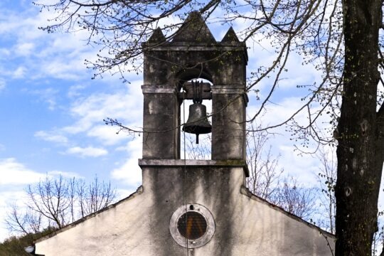
- We leave the panoramic spot and move towards the church of St. Cross, continue till the crossroads for Montinjan and cross the villages of Sabadini and Bržani. Here a rocky road, once the main connection between Marezige, Vanganel and Koper, joins from the right.
- Along this road, we reach, in few turns, a wide vineyard, where we turn left on the cartroad which leads us to a stone bridge.
- There we turn right and take the macadam road, continue towards the main road (Vanganel – Marezige), turn right and soon spot our starting point. We can also cross again the main road and return to the starting point along the same road we used at the beginning of the journey.
Path altimetry